The Empty Sea AtlasHistorical baselines · marine depletion
A research atlas

The Empty Sea AtlasHistorical Baselines & Marine Depletion

Mapping the spatial bioeconomics of open-access marine extraction from historical logbooks to population models.

Modules

011784–1920Live

American Whaling (1784–1920): Prices Hid the Empty Sea

Nearly half a million daily logbook entries show the American fleet working one ocean basin after another and meeting fewer whales in each. Rising whalebone prices paid for the thinner catch, so the industry's accounts hid the depletion until kerosene and the 1871 Arctic ice ended the hunt from outside.
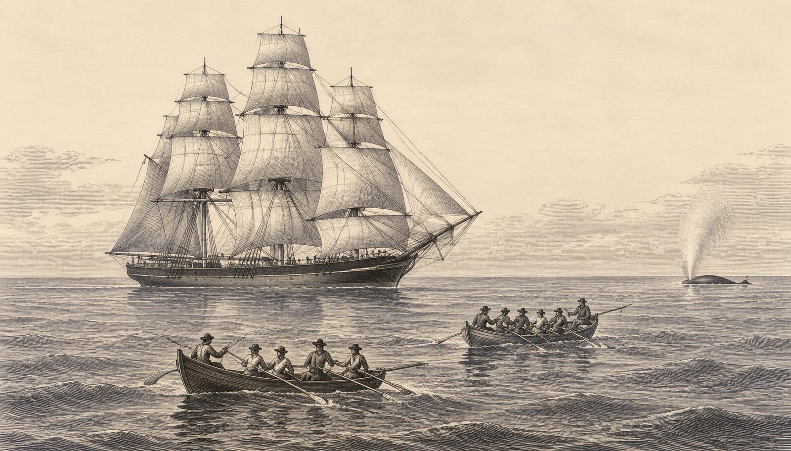
Engraving of a whaling bark under sail with two whaleboats rowing toward a distant spouting whale
02/biomass-modelsComing soon

Biomass & Population Reconstructions

Population models fitted to the logbook encounter series and published catch records, starting with the Western Arctic bowhead.

03/fisheriesComing soon

North Atlantic Fisheries

The same spatial methods applied to historical North Atlantic fishing records.